Copenhagen Metro in 2026: M3 City Circle, M4 Harbour Line, What's New
The Copenhagen Metro Is Not What You Think It Is
Many visitors arrive in Copenhagen expecting something like the London Underground or the Paris Métro — a vast, old, multi-line network covering every corner of the city. The Copenhagen Metro is neither vast nor old. It opened in 2002, it is fully automated (no driver), and until 2019 it consisted of just two lines.
The expansion over the last several years has changed the network significantly, and understanding what now exists — and what still does not — is useful before you navigate the city.
The Four Lines: What Runs Where
M1 and M2 are the original lines, sharing most of their route before splitting at Vanløse (M1) and the Airport (M2). They run in a rough arc from the western suburbs through the city centre and out to Copenhagen Airport. Nørreport, the main hub, is on both lines.
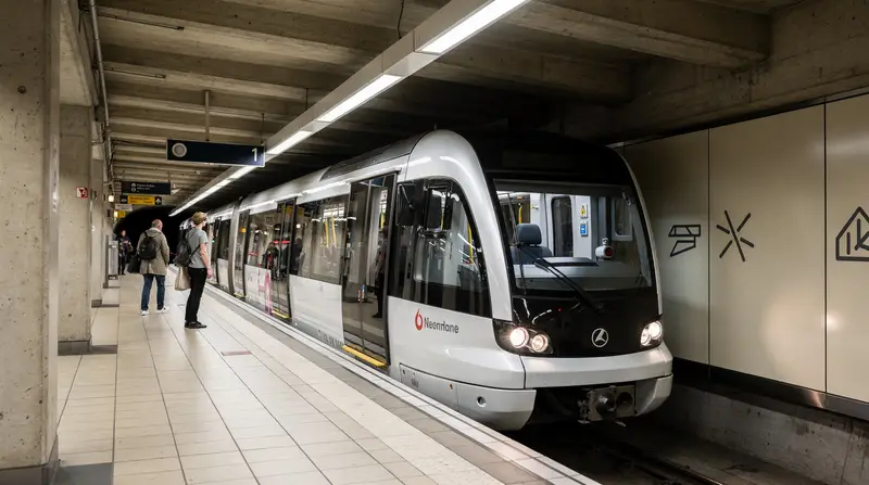
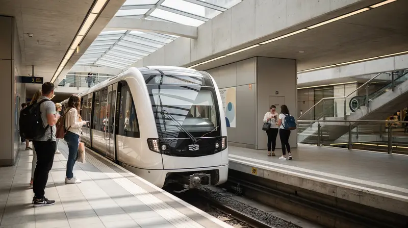
M3 — the Cityringen (City Circle Line) opened in September 2019 and is the most significant addition to Copenhagen public transport in decades. It is a full circle line with 17 stations, running through areas that were previously underserved by metro: Frederiksberg, Nørrebro (Skjolds Plads and Nørrebro stations), Østerbro, and back through the inner city. The M3 runs 24 hours a day, 7 days a week — unusual for European metro systems — with trains every 3–4 minutes during peak hours and every 7–10 minutes at night.
The M3 changed how the city functions for both residents and visitors. Nørrebro, historically accessible mainly by bus or bike, now has direct metro access. The journey time between Frederiksberg and the inner city is now 5–8 minutes by metro where it was 20+ minutes by bus.
M4 — the Harbour Line (Havnelinjen) opened in stages from 2020 onwards. The current M4 runs from København H (Central Station) to Copenhagen Airport via a route that includes Orientkaj (in Nordhavn), Østerport, and several harbour-adjacent stations. Importantly, the M4 has also been extended south to Sydhavn — the southharbour area that is undergoing significant residential development. The Sydhavn extension stations (including Sluseholmen, Enghave Brygge, and Sydhavn) serve areas that were previously poorly connected to the rest of the city.
Cityringen: Why It Matters for Visitors
For most tourists, the M3 Cityringen is the most practically useful addition to the network. A few things it now makes much easier:
Nørrebro without a bus. Nørreport to Nørrebro station is 4 minutes. Before the M3, getting from the city centre to Nørrebro by public transport meant a bus that could take 20+ minutes in traffic. The neighbourhood is now properly metro-accessible, which changes the calculus of where to eat, drink coffee, and spend time.
Frederiksberg. The Frederiksberg area — including Frederiksberg Have (the royal gardens) and Frederiksberg Allé — is now on the metro via the Frederiksberg and Forum stations. For families visiting the Copenhagen Zoo, this is also useful: the zoo is a short walk from Frederiksberg station.
Østerbro and the stadion. Parken (the national football stadium) and the surrounding Østerbro neighbourhood are now accessible via Trianglen and other M3 stations.
Night service. The M3 runs 24 hours. This is not trivial. On a Saturday night, being able to take the metro home at 3 a.m. without navigating night bus schedules is genuinely useful.
M4 and the Airport Connection
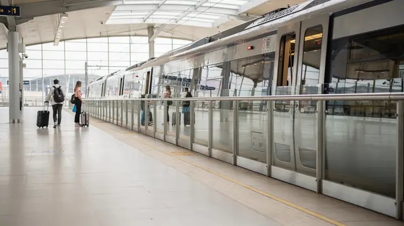
The M4 Harbour Line connects to the airport, but so does the M2 (which has served the airport since 2002). The M4 provides an alternative route via Østerport and Nordhavn, which is more useful if you are coming from the eastern parts of the city or from Nordhavn. For most airport arrivals staying centrally, the M2 remains the most direct route.
Airport to city centre: the M2 takes 14–15 minutes to reach Kongens Nytorv (connecting to M1/M3) or about 20 minutes to Copenhagen Central. A single ticket costs 36 DKK (3 zones). There is no airport surcharge. This is one of the more reasonably priced airport metro connections in Europe.
Ticket Prices and the Fine You Should Know About
Copenhagen public transport uses a zone-based system administered by Rejsekort and DOT (Dansk Offentlig Transport). For metro travel:
- Single ticket, 2 zones (covers most inner city journeys): 26 DKK
- Single ticket, 3 zones (airport to city centre): 36 DKK
- 24-hour pass (all zones in Copenhagen): 80 DKK
- 72-hour pass: 200 DKK
- Rejsekort (reloadable travel card): saves approximately 25–30% per journey versus single tickets; available at stations, requires a 50 DKK deposit
The Copenhagen Card (available via GetYourGuide and at the airport) covers public transport across all zones as well as entry to 80+ attractions. Worth calculating against your itinerary before buying.
The fine: 750 DKK. This is enforced strictly. The metro is fully automated and has no barriers — trains and platforms are open access. Inspectors board trains randomly and check tickets. If you do not have a valid ticket or a valid Rejsekort check-in, the fine is 750 DKK, payable immediately or on the spot. There is no negotiation and no tourist exemption. Ticket inspectors speak English. “I didn’t know” is not an accepted defence. Buy a ticket before you board, or check in with your Rejsekort.
Future Extensions: What is Planned
The metro network is not finished. Planned extensions under the current capital programme include:
Nordhavn extension: Nordhavn (the old northern harbour, now a major development area) has partial metro coverage via the M4 Orientkaj terminus. Further extensions into the area have been discussed in planning documents but are not confirmed for near-term delivery.
Sydhavn full opening: The Sydhavn extension of the M4 continues to open stations as construction completes. Check the Metroselskabet (the metro operator’s official website) for the latest station openings.
Long-term: Various proposals for extending metro coverage to Hvidovre, Glostrup, and other western suburban areas are in earlier planning stages and are likely a decade or more away.
S-Tog: The Network the Metro Does Not Replace
The metro covers the inner city and airport well. For travel to North Zealand — Helsingør (Kronborg Castle), Hillerød (Frederiksborg Castle), Roskilde — you need the S-Tog (S-train) network, which operates from Copenhagen Central station and several connecting stations. The S-Tog is not part of the metro; it uses a separate network of above-ground and tunnel routes.
For day trips from Copenhagen, the S-Tog (and regional trains from Copenhagen Central) are what matter. The metro gets you across the city; the S-Tog gets you out of it.
The Metro vs Cycling Debate
Copenhagen has a strong case for being the most cycle-friendly city in the world. The metro and the bicycle exist in parallel as transport modes, and many Copenhageners choose between them situationally depending on distance, weather, and where they are going.
For visitors, the comparison is relevant. The metro is faster for longer distances across the city — Nørrebro to the airport in 20 minutes is not achievable by bike. But for shorter urban hops — from Nørrebro to the inner city, from Vesterbro to the lakes — cycling is often faster than waiting for the metro and walking to and from stations.
The M3 Cityringen has improved metro access to cycling-friendly neighbourhoods significantly. But it has not displaced the bicycle for short urban journeys, and for tourists who are comfortable cycling, a bike provides a more textured experience of the city than the underground can.
The pragmatic answer for a city-break visitor: use the metro for airport arrivals, longer cross-city journeys, and night transport; rent a bike for daytime exploration of neighbourhoods. They complement each other rather than compete.
How the Metro Handles Peak Crowds
The Cityringen in particular can be crowded during rush hours (07:30–09:00 and 16:00–18:30 on weekdays) and during events at Parken stadium or large concerts. Trains are frequent enough that waiting is rarely more than 5–7 minutes, but the platforms at Nørreport and Kongens Nytorv can feel congested at peak times.
For tourists, the practical implication is minor: do not try to travel with large luggage through Nørreport at 08:30. The metro handles this better than many European systems because the automated operation means trains run at near-constant frequency regardless of staffing, but the platforms themselves are narrow by the standards of older systems.
The Copenhagen Card covers unlimited metro travel within all zones for its validity period (24h, 48h, 72h, 120h options), which removes the ticketing friction entirely for visitors using public transport heavily.
Practical Tips
Download the DOT app (Danish public transport). It handles ticketing, journey planning, and real-time departures for all Copenhagen public transport including the metro, S-Tog, and buses. Works on iPhone and Android. Purchase tickets before boarding.
Metro maps are available at every station and in the app. The network, while growing, is still compact enough that understanding it takes about five minutes.
Connections at Nørreport: Nørreport is the central interchange — M1, M2, M3 all stop here, and S-Tog platforms are directly above. If in doubt, go to Nørreport and navigate from there.
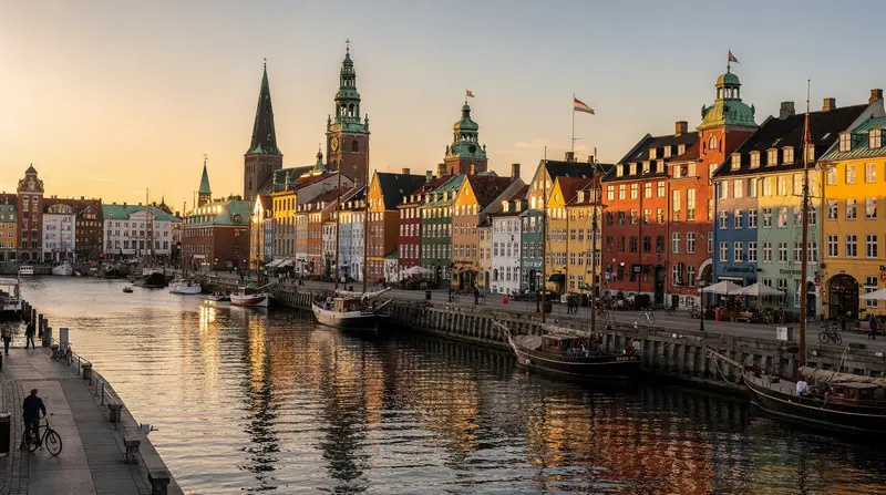
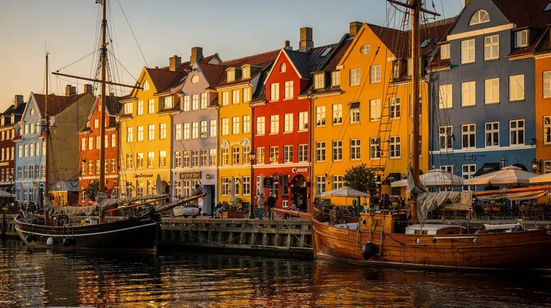
Kongens Nytorv is the M1/M2 connection to the inner city and Nyhavn area, and it connects to the M3 Cityringen. Two minutes’ walk to Nyhavn.
For detailed public transport advice, see the Copenhagen metro guide and getting around Copenhagen guide. For airport arrival specifics, see the Copenhagen airport to city centre guide.